

Evaluating Bus Stop Safety Using Aerial Photography
The bus stop is the moment of truth for all school transportation departments. Students’ lives are at risk every time they enter or exit our school buses.
The bus stop is the moment of truth for all school transportation departments. Students’ lives are at risk every time they enter or exit our school buses. As supervisors, we need to evaluate our bus stops at least annually. This is not an easy task for management in small districts, much less larger ones. However, technology is now available that makes this job much easier on transportation departments.
Sometimes this technology is available at no cost. Many school districts are benefiting from cooperative agreements with their counties for this technology. In Monroe County, N.Y., we have purchased Pictometry¨ with an unlimited licensing agreement for towns and villages that are located within the county.
Pictometry is a Geographical Information System (GIS) that provides the user with tools to measure distances, elevation, grade and houses at the click of a mouse. This program gives us the ability to view bus stop locations from real pictures that are catalogued and replaced every two years.
Bus stops, school loading and unloading areas for in-district and out-of-district school bus loops and field trip locations may also be evaluated. Satellite images such as Google Earth differ from Pictometry because they are taken from an orthogonal view (directly overhead). See http://earth.google.com for an example of this free and useful program.
Accuracy and depth
Pictometry uses oblique images taken at 45 degree angles that give dimension and depth to a picture much the same way we view the world around us. Pictometry also has the ability to incorporate tax maps that highlight property boundaries and is more accurate at locating addresses than other free Internet-based GIS programs. See Pictometry for more oblique pictures at www.pictometry.com.
Whether you use a computerized routing program or paper maps, they will contain misleading or incorrect information. Houses located on a corner may be numbered on one road but the driveway or access for the student could be located on the bisecting street. Incorrect street ranges can also plague these formats. These small differences may negatively impact your routes.
With Pictometry, we can view the area we are routing from up to 12 different views. It also allows the user to crop the picture, add comments or icons and save it for future reference.
A versatile tool
This GIS technology has been priceless for our operation when we review our bus stop change requests. While direct observation of all bus stops is ideal, when you have nearly 5,000 bus stops, it is not always feasible to check out all of the stops in-person.
Annually, we receive more than 100 bus stop change requests. In the past, our safety coordinator would view the bus stop on the computer, divide the requests by four quadrants of our district, and then go out and review the stops in a company vehicle.
Using Pictometry, we are now able to review 90 percent of these requests on our computers and discuss these concerns over the phone with the parents who wrote the original request. This process has saved many labor hours and miles traveling throughout our district evaluating these bus stop requests. In addition, and more importantly, our routing staff is now able to create safer routes by being able to switch between the computerized routing program and the Pictometry system to view the area being routed.
As an added benefit, your buildings and grounds department can also use a GIS program for measuring roofs that need to be replaced, parking lots that need resurfacing or fields that need to have pesticides applied. Pictometry allows these departments to make these measurements from their offices, saving time and money.
Check with the county
If you do not have access to a GIS program, contact the office that is responsible for your county’s Environmental Services GIS Unit. See www.mappingmonroe.org for an example of the services offered to towns and villages in Monroe County.
The more interest in GIS systems that is expressed to county officials, the more likely these officials will be to consider using shared services like Pictometry, ultimately reducing duplication of services among governmental agencies.
I recommend you talk to your county officials to see if you can gain access to this new technology. Your operation will benefit greatly, and ultimately your bus stops will become safer by utilizing this technology.
More Safety
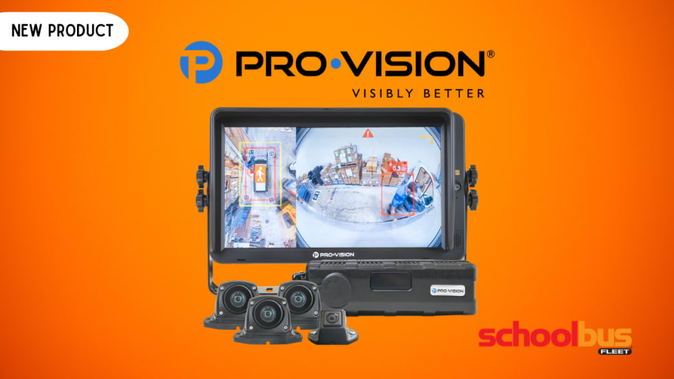
Pro-Vision Launches AI-Powered 360° Camera System
The new Birdseye camera delivers real-time AI-based pedestrian and vehicle detections, full visibility around the bus, and telematics integrations.
Read More →
N.Y. & N.J. Coalitions Call for Modernized Transportation for Vulnerable Students
New statewide coalitions in New York and New Jersey are urging lawmakers to expand student transportation options for vulnerable students amid ongoing driver shortages.
Read More →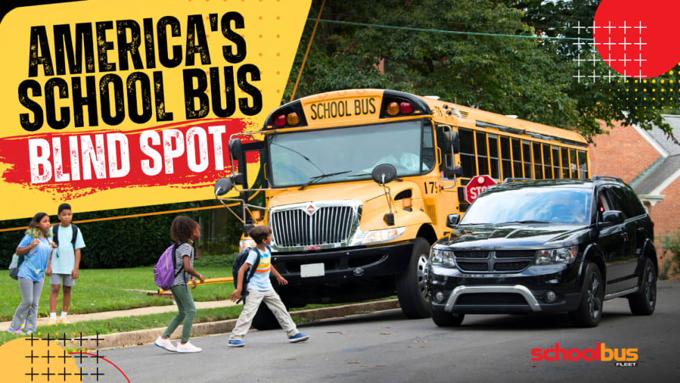
America Has a School Bus Passing Problem — and Distraction Is Making It Worse
Illegal school bus passing remains a major safety threat as distracted driving rises. This op-ed explores why awareness, enforcement, and stop-arm cameras matter more than ever.
Read More →
School Bus Laws to Watch: New York Delays EV Mandate
Plus, federal lawmakers seek new funding for school bus safety as states weigh stop-arm enforcement, disability protections, and education spending.
Read More →
The Essential Handbook for Safe Alternative Student Transportation
Your district's "exception riders" — students with IEPs, those experiencing homelessness, foster care youth — deserve more than a middleman solution. This handbook breaks down exactly what to look for in a supplemental transportation partner: from driver vetting and regulatory compliance to proactive safety technology. Because getting a ride isn't the same as getting a safe one.
Read More →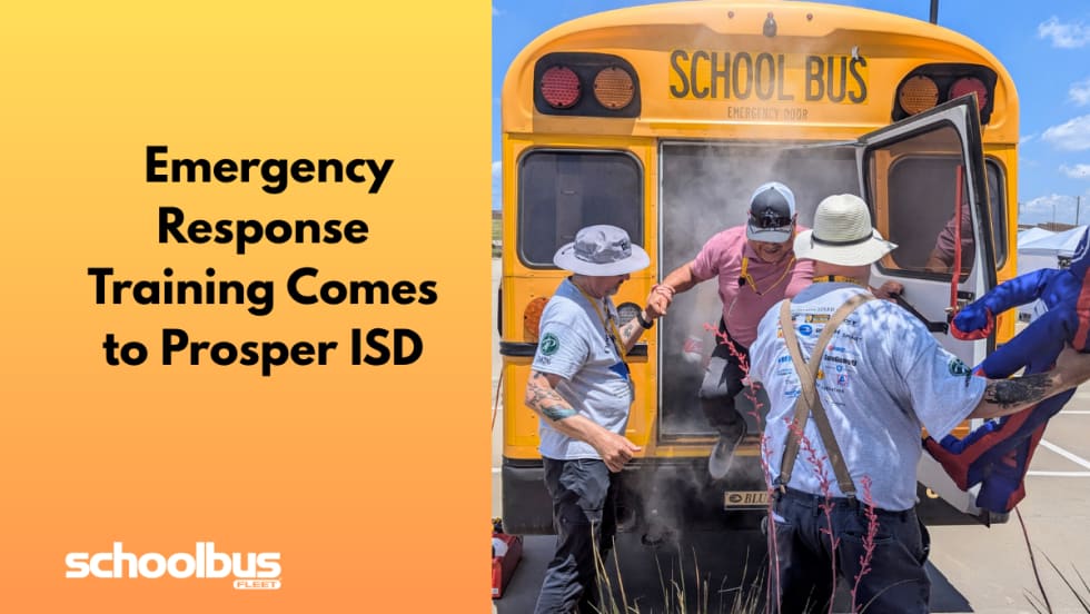
Operation STEER Brings Emergency Response Training to North Texas
Prosper ISD hosted the third annual training for transportation professionals across 67 districts to learn how to respond to emergencies, such as rollovers and evacuations, and proper use of safety equipment.
Read More →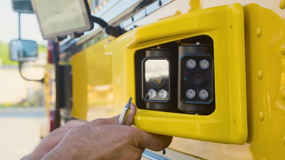
Florida District Relaunches BusPatrol School Bus Camera Program With New Safeguards
After being suspended over due process concerns, Miami-Dade schools and law enforcement are restarting the AI-powered stop-arm camera program with new oversight.
Read More →
School Bus Laws To Watch: Seat Belt Bills, Funding Fights & EV Changes
From national bills on seat belts and driver oversight to driver awareness campaigns referencing “Finn’s Rule” and ongoing transportation funding debates in Alaska, here’s the latest in school bus legislation across the U.S.
Read More →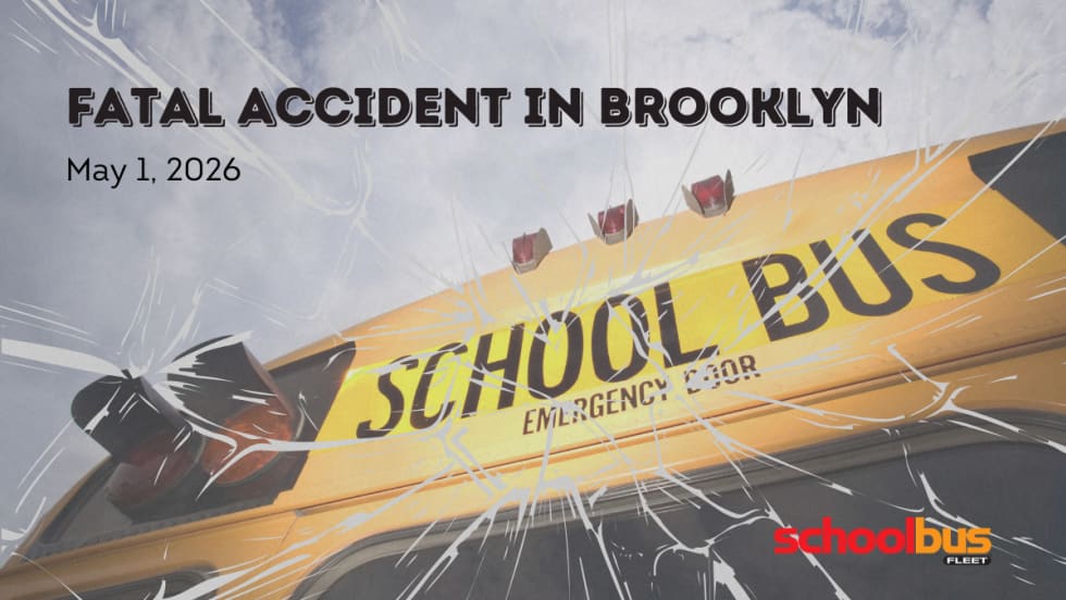
9-Year-Old Boy Killed by School Bus at Busy Brooklyn Intersection
A Williamsburg community is mourning after a child was fatally struck by a private yeshiva bus, prompting calls for urgent safety improvements at the high-traffic crossing.
Read More →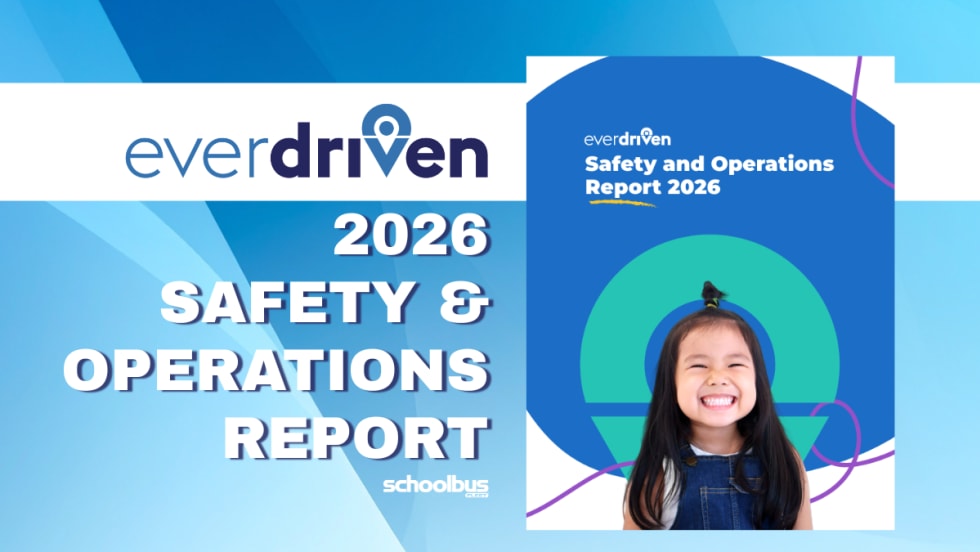
Does Reliable School Transportation Boost Attendance? EverDriven’s Data Says Yes
The new data shows 99.99% incident-free trips and strong on-time performance, reinforcing how dependable transportation, especially for vulnerable student populations, can help districts combat chronic absenteeism.
Read More →