

Did You See: 4 ChatGPT Prompts for School Bus Routing
Safe Routes to School: Reducing Traffic and Building Community
Enhanced school transportation options help to reduce traffic congestion around schools, including staggered school start times and planning for traffic signal timing.
July 31, 2024
Staggered school start times can lessen traffic congestion, especially at locations that have a junior high next to an elementary school.
Source: Canva
6 min to read
It's been nearly 20 years since Congress created the Safe Routes to School program aimed at helping communities reduce traffic congestion and vehicle emissions, as well as encouraging children to walk or bike to school. In that time, individual programs have evolved.
Some communities, such as Lawrence, Kansas, have seen their Safe Routes to School programs grow to exceed Congress's original objectives.
The Lawrence Safe Routes initiative began in 2014 as a collaborative effort between the Lawrence-Douglas County Health Department, Lawrence Public Schools, the City of Lawrence, and the Lawrence-Douglas County Metropolitan Planning Organization. This Be Active Safe Routes program, school, and community leaders say, produced many benefits, from reducing traffic congestion to increasing the opportunity for community members to be physically active and building community cohesion. Today, these routes have become part of a citywide trail that continues to expand each year.
“There is momentum that was built starting with Safe Routes that has set into other programs we are investing in across our community,” said Jessica Mortinger, Lawrence-Douglas County Metropolitan Planning Organization transportation planning manager. “Our parks and rec department recently did a statistically valid survey as part of our Parks, Recreation, Arts and Culture process that found the top request from residents is trails and places to walk, and that's built on the Safe Routes that we have around our neighborhood schools. We’ve created a network of routes that go throughout our community. And we are working to fill in the gaps. That’s making a difference in our neighborhoods.”
Mortinger added that the city’s Neighborhood Traffic Management Program is not directly related to schools but has an impact on traffic mitigation, including adding traffic circles, traffic calming devices, and reducing speed limits in residential neighborhoods.
Mike Sawyer, executive director of transportation for the San Marcos Unified School District and president of the California Association of School Transportation Officials, said he continues to see the legacy of Safe Routes helping to mitigate congestion in his district and throughout the state. A lot of that has to do with the strong relationships communities and school districts have built in recent years.
“We have quarterly meetings with the school district facilities department and the City of San Marcos traffic division and we talk about timing of traffic signals and ways we can adjust traffic light patterns to get cars off the road and alleviate traffic congestion,” Sawyer said. “We talk about paint and striping of crosswalks and bike lanes, and where the pickup lines for buses should be in the road to allow for safe turns for buses. We also talk about what are safe routes for students to walk and bike to school.”
Sawyer added: “In my 25 years of working at the school district, many times the city has provided traffic consultants to help study traffic patterns in our school neighborhoods. A lot of times the results of those studies are found to change the order in which lights turn green or red, depending on the goals of our discussions, whether to alleviate congestion caused by parents driving in or out of the school or make pedestrian crossings safer.”
The San Marcos Unified School District has 19 schools and 19,600 students.
The Lawrence Example
Ron May, director of human resources and safety-transportation for Lawrence Public Schools, which has 18 schools and 10,646 students, said each year the district educates and reminds parents about where to and how to drop off students, where to queue up for pickup, and locations to avoid when parking. First Student, a private contractor, operates the district’s bus service.
"We want to mitigate traffic congestion as much as possible and follow the Five E’s of Safe Route to School: engineering, enforcement, education, emergency response and emerging technologies,” May said.
Lawrence Public Schools also staggers start times, which lessens traffic congestion, especially at locations that have a junior high next door to an elementary school. Also, half the district’s elementary schools operate from around 8 a.m. to 3 p.m. and the other half from 8:45 a.m. to 3:45 p.m.
Staggered start times help with congestion in neighborhoods, but it also has a cost savings, May said.
“The first time a bus goes out it costs us $275. But if it comes back and takes another busload of kids and runs a different route, it's only an additional $40 or $50 for that extra route,” May said. “By doubling up routes, we save a significant amount of money and it also cuts down on the number of buses on the roads at any given time. We have close to 85 to 90 active buses, but probably not more than 60 or so buses active at one time.”
Expanding Walk, Bike to School
Safe Routes supporters say a successful way to mitigate congestion on city streets is to encourage parents not to drive and have their children walk or bike to school. Lawrence continues to try to make that a priority despite recent school closures impacting commutes.
“Lawrence was on a good trajectory with a growing involvement in terms of kids walking and biking to school, so when we had last looked at this we had a goal that in 2023 to be at 20% and we were getting really close to that prior to some school closures,” Mortinger said. “The impact will yet to be seen since the school closures and some students being farther away from their schools. The further you live away from school the less likely you are going to have kids walking and biking to school.”
“So,” Mortinger continued, “We have seen the result of that on some of our streets, particularly with a couple schools where the street network is more restrained and there is only one way in to the school and one way out.”
Mortinger’s team has created three sets of maps for every school. “One is our planning map, which is where we intend to have built-in environment improvements, such as where we are going to fill in sidewalk gaps, that sort of thing. Another map is our encouragement map, which is what we are giving to parents, guardians and kids, and are posted in schools and say ‘here the sidewalk you should use.’ And then we have a third set of maps, which is a traffic circulation map which is more technical and includes where the bike racks are and where the buses park and where the ADA entrances are and where you can and can’t park and where you can park and walk to school.”
Park and Walk
Another goal for Lawrence is to encourage parents to park at a designated location near the school and walk the rest of the way. This would encourage safety and limit the number of cars entering and exiting a school campus.
“We can continue to do more on the park and walk, especially in the more constrained places,” Mortinger said. “Some of it already happens informally, but some places it happens more formally, where there are specific locations where parents can park and drop off kids and they can walk together with one adult or, depending on their age, maybe on their own. That can reduce congestion for perhaps a half-mile or a mile around the school. And that helps everyone. I think that’s a space we will have to continue to work on. I think there will be continued interest in that considering the frustration some may feel when everyone is trying to drive to the same place.”
Subscribe to Our Newsletter
More Management

Changing Lanes: AMF Bruns, Pro-Vision, CALSTART, HopSkipDrive, & Kooner
Check out who's been hired, promoted, and appointed to leadership positions at various school transportation industry suppliers and nonprofits.
Read More →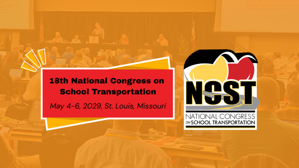
NCST Announces 18th Congress Event Dates, New Committees
The National Congress on School Transportation moves to St. Louis in May 2029, convening delegates and industry representatives to discuss new best practice recommendations. Now, the new committee chairs have been named.
Read More →
Key Moments from the 2026 NSTA Annual Meeting in the Mile High City
From federal policy updates and OEM presentations to speed networking and industry awards, see photos and highlights from the contractor association’s summer conference in Denver.
Read More →
HopSkipDrive Launches Spanish-Language App Update, Plans Additional Language Support
The update aims to improve communication with multilingual families by offering ride tracking, notifications, and support in Spanish, with more languages planned for the 2026-2027 school year.
Read More →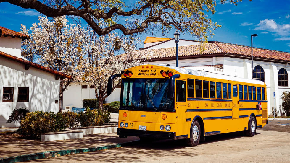
Where the Yellow Bus Takes Us: School Bus Fleet's 2026 Photo of the Year Winners
See the winning photos from School Bus Fleet's 2026 Photo of the Year contest, featuring stunning school bus images from across the U.S., from scenic landscapes to everyday moments.
Read More →
Why Emotional Intelligence Matters in Student Transportation
Learn the five key elements that bus drivers and transportation directors can use to stay calm in any situation.
Read More →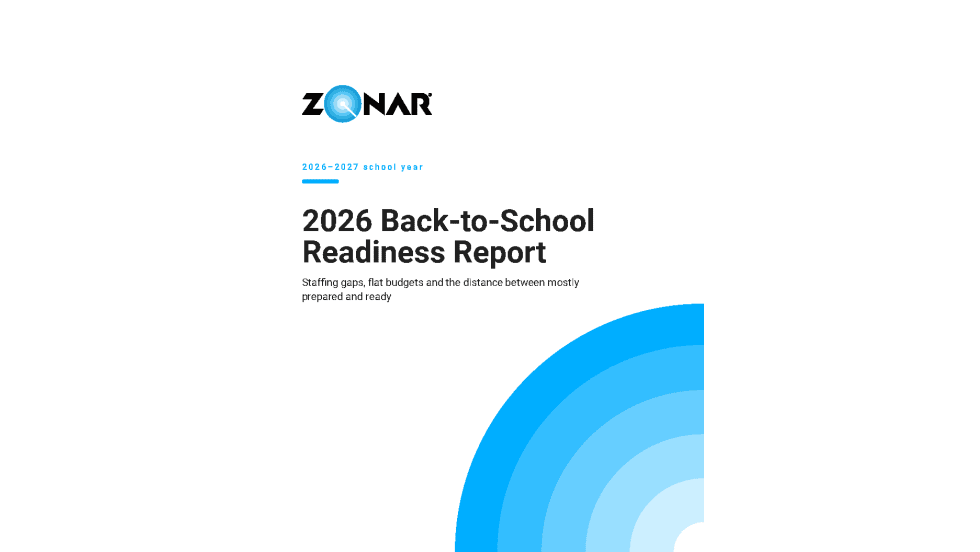
Sponsored•July 23, 2026
2026 Back-To-School Readiness Report
Staffing gaps, flat budgets, and the distance between “mostly prepared” and ready for the 2026-2027 school year.
Read More →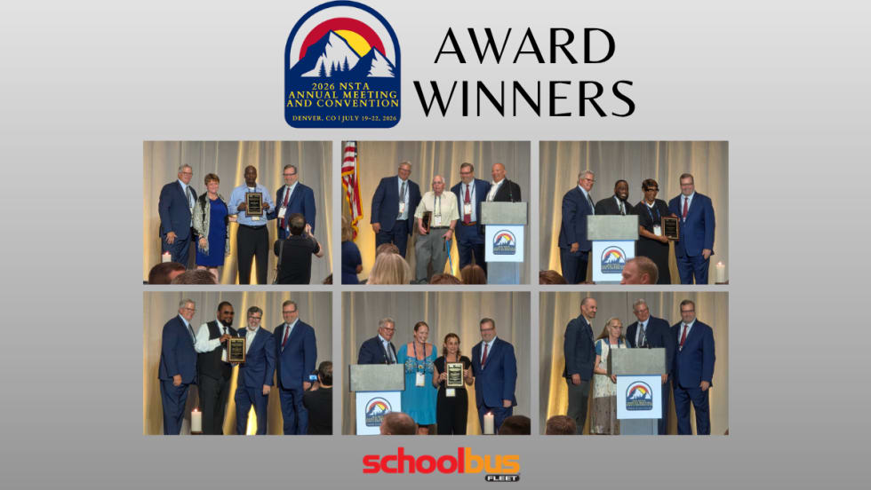
National School Transportation Association Presents 2026 Award Winners
Twenty-one individuals and contractor companies were recognized for excellence in student transportation at NSTA's annual meeting and convention in Denver.
Read More →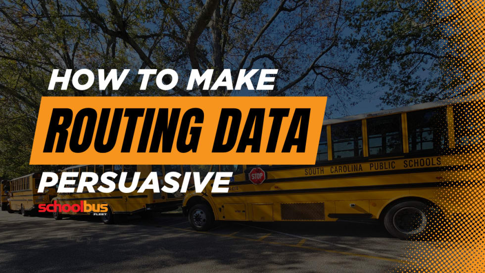
School Transportation Data Is Only as Powerful as the Story It Tells
Leaders say turning operational metrics into student-centered narratives can help districts justify investments and improve service.
Read More →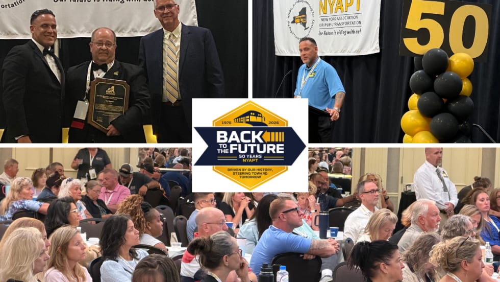
Photos: NYAPT Celebrates 50 Years at 2026 Conference & Trade Show
See highlights from NYAPT's 50th anniversary conference in Saratoga Springs, featuring educational sessions, awards, a trade show, networking, and more.
Read More →