
NYC Dept. of Education honored for GIS work
The department receives a Special Achievement in GIS award at an Esri conference. Alex Robinson, executive director of the department’s Office of Pupil Transportation, tells SBF that in addition to the more than 8,000 school buses on routes daily, "we couldn’t do what we do without amazing mapping technology and GIS experts."

The New York City Department of Education (DOE) was recently recognized for its work with geographic information systems (GIS).
Alex Robinson, who was named executive director of the DOE's Office of Pupil Transportation in December 2011, told SBF that in addition to the more than 8,000 school buses on routes daily, "we couldn’t do what we do without amazing mapping technology and GIS experts."
At the Esri International User Conference in San Diego in July, the DOE received a Special Achievement in GIS award.
"This award is given to user sites around the world to recognize outstanding work with GIS technology," Esri said. The DOE "stood out from more than 100,000 others."
The DOE's Office of Pupil Transportation has been building ArcGIS into its enterprise architecture for managing all of its spatial data, such as bus stops and routes, used in different applications.
Also, the Office of Pupil Transportation has developed external web-based map applications, like a pre-K school bus contract bid portal, as well as internal applications, including one for determining transportation eligibility by calculating walking paths to schools.
More Management
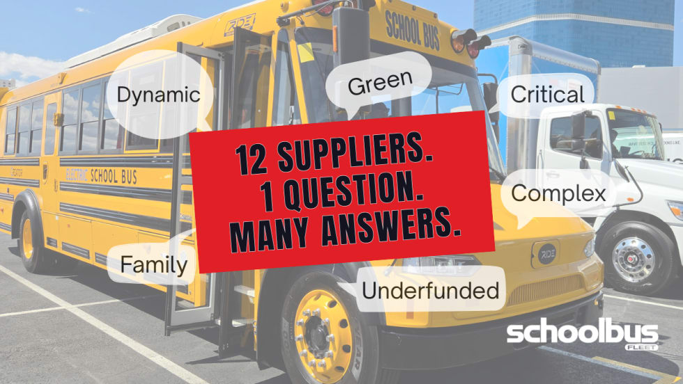
13 Industry Leaders Describe School Transportation in One Word
What word best describes the school bus industry today? We posed that question to over a dozen manufacturers, resulting in a revealing mix of perspectives on the challenges and opportunities ahead.
Read More →
Tyler Technologies Adds New AI, Transactions Leadership Roles
Two company executives are promoted to newly created C-suite positions to accelerate the company's long-term growth in both artificial intelligence and payments.
Read More →
Pro-Vision Acquires Convoy Technologies
The deal aims to broaden customer relationships and adds specialized vehicle video capabilities for commercial fleets.
Read More →


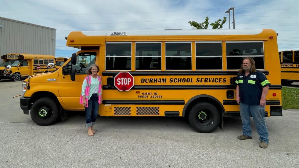
Durham School Services Maintenance Teams Earn Missouri Fleet Excellence Awards
Eight of the contractor’s school bus fleets achieved a distinction few maintenance teams earn during the state’s rigorous annual inspection program.
Read More →
How Incentives, AI, and Energy Markets Are Reshaping School Transportation
Sit down with Joe Annotti of TRC Companies to talk district grant funding, utility challenges, AI, and why school buses are evolving from transportation assets into energy assets.
Read More →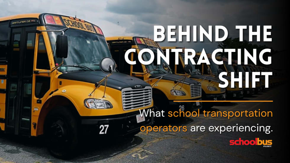
Inside the Contracting Shift: What School Transportation Operators Are Seeing Now
School transportation contractors weigh in on recent trends, costs, driver shortages, and the rise of multimodal student transportation.
Read More →
The No-Idling School Bus AC System
Take a peek at ExoAir Systems’ battery-powered cooling solution designed to run for up to 10 hours without the engine on, reducing fuel use and improving comfort for drivers and students.
Read More →
Geotab on Three Major Trends in School Transportation
School bus fleets are becoming more proactive than ever. From AI driver alerts to vehicle-to-grid opportunities, Geotab outlines the biggest technology trends transforming school bus operations.
Read More →
Gatekeeper Lands Major School Bus Deals as Revenue Surges
The video solutions provider announces contracts with Atlanta Public Schools and other fleet operators as it records quarterly revenue growth and expanding subscription business.
Read More →
Building Leaders Who Last: Creating a Successful Mentorship Program in Student Transportation
Discover five strategies for building an effective mentorship program to strengthen leadership development and support staff retention.
Read More →