
Zonar, Esri offer integrated vehicle tracking system
Officials say the system, which delivers real-time fleet data layered with geographic map information, helps companies determine capacity enhancements, improve fuel efficiency, optimize routes and share interactive transportation maps on the web.

SEATTLE — Zonar Systems and Esri are offering an integrated system that delivers real-time fleet data layered with geographic map information.
Officials say the system helps companies determine capacity enhancements, improve fuel efficiency, optimize routes and share interactive transportation maps on the web.
More specifically, users can determine fuel efficiency rates of specific routes with elevation information, in addition to longitude, latitude, speed, odometer and fuel usage data.
Vehicle location and diagnostic data can be tracked on a map that contains company facility and asset locations, preferred fuel stops, maintenance and service locations, or customer delivery points. Vehicle locations can also be integrated with traffic, weather, work orders and company-maintained GIS data.
“Fuel efficiency is extremely important to our customers, and the Zonar and Esri integration provides additional data sets including elevation to the fuel capture data Zonar provides,” said Mike McQuade, chief technical officer at Zonar. “In addition, private and public fleets are improving customer service by sharing interactive location maps and expected arrival information to customers over the Internet and mobile devices.”
Wolfgang Hall, business development manager for tracking solutions at Esri, added that the ability to display and store Zonar’s detailed GPS location data inside GIS allows the company’s users to “leverage advanced spatial analysis.”
More Management

Stertil-Koni Announces New Company President
Lewis Nelson joins the heavy-duty vehicle lift provider, succeeding Scott Steinhardt in the lead role.
Read More →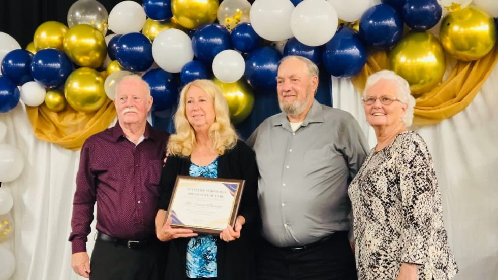
Tennessee Hall of Fame Honors Drivers for Decades of Service
Frances Theiring, a school bus driver for Wilson County Schools, retires this year after almost 50 years on the road. She is one of two long-time drivers honored for their service in the state.
Read More →
What Happens to a School Bus After Retirement? First Student Has a New Answer
Through a new partnership with Advanced Remarketing Services, proceeds from retired vehicle sales will support Special Olympics and other community-focused organizations while advancing sustainability goals.
Read More →


School Bus Logistics Adds 3 Data Analysts, Expands Routing Capabilities
Three new data analysts and a BusRight certification bring an added layer of support to the routing services districts already use.
Read More →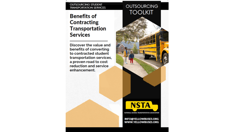
Outsourcing Student Transportation Services Toolkit
Did you know nearly 40% of school districts utilize a private contractor to serve their transportation needs? Explore why more school leaders are turning to contracted transportation services, and how outsourcing can create meaningful value without sacrificing control. Discover the practical benefits of a transportation services platform that provides flexibility with coordination.
Read More →
EverDriven Debuts TripCentral as New District Transportation Portal
The new transportation management hub takes over the district portal to power trip planning, operations, visibility, and intelligence for school district transportation needs.
Read More →
Lessons Learned from 4 Decades in Transportation: 5 Questions with Craig Beaver
Sit down with longtime transportation leader Craig Beaver moments before he retires, as he reflects on his career leading up to his role at Beaverton School District in Oregon and the secrets to leading great teams.
Read More →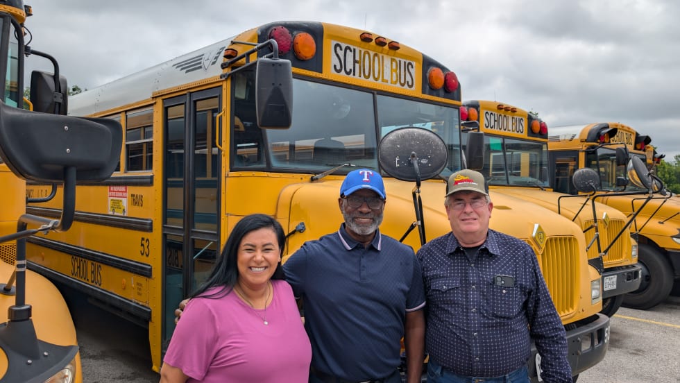
BusRight Honors Texas Driver With Inaugural Behind The Wheel Award
Selected from more than 300 nominations, Lawson Crook earned BusRight’s inaugural award for his dedication to students and safety.
Read More →
Craig Beaver’s Final Stop: Lessons from 43 Years in Transportation
After more than four decades in transportation, retiring Beaverton School District director Craig Beaver reflects on leadership, alternative fuels, AI, staffing, and what’s coming next. The Route is sponsored by IC Bus.
Read More →
What 43 Years in Transportation Taught Craig Beaver About Leadership
After more than four decades in transportation, retiring Beaverton School District admin Craig Beaver reflects on leadership, alternative fuels, AI, staffing, and what’s coming next.
Read More →